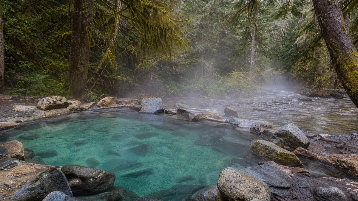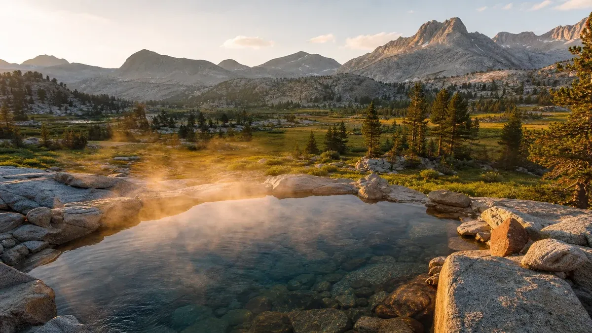
Understanding Trip Planning Across United States Geothermal Landscapes
Natural geothermal activity across the United States reflects volcanic history, fault-controlled groundwater circulation, and regional aquifer systems that bring heated water to the surface in diverse forms. Educational travelers researching trip planning and multi-day thermal travel itineraries benefit from treating each destination as a landscape lesson where elevation, bedrock chemistry, seasonal hydrology, and land-management designations shape what visitors may legally and safely experience.
Thermal travel differs from conventional resort tourism in access difficulty, variable water temperature, and shared stewardship expectations at undeveloped sites crossing multi-state geothermal loops, gateway town resupply points, and remote four-wheel-drive approaches. Many soaking locations sit on public land administered by federal or state agencies with rules that may change by season, wildfire recovery, or infrastructure repair. Educational preparation emphasizes reading agency alerts, understanding permit requirements, and verifying current road and trail status through official sources rather than outdated social posts.
This guide presents general educational information about geothermal travel across the United States. It does not constitute personalized medical advice, guaranteed water temperatures, accessibility assurances, permit approvals, or safety outcomes. Always verify regulations, road conditions, facility hours, and health guidance through official agency channels, licensed facility staff, and qualified medical providers before traveling or entering thermal water.
How Trip Planning Fit Into the National Geothermal Context
The United States Geological Survey and regional universities document hundreds of thermal features ranging from vapor-dominated fields to low-temperature seeps suitable for soaking. Developed resorts, historic bathhouses, and primitive pools coexist within overlapping jurisdictions where county health departments, tribal nations, and federal land managers each publish distinct rules. Understanding which entity administers a site clarifies where to find closure notices, water testing summaries, and emergency contact information.
Primitive and semi-developed soaking areas often lack staffed entrances, fixed hours, or temperature controls found at commercial facilities. Their educational value frequently lies in permit lottery systems, offline map backups, and alternate-route weather buffers, interpreted through interpretive panels, volunteer stewardship groups, or self-guided geology references. These sites may expose visitors to uneven footing, variable flow after storms, and informal parking areas without guaranteed capacity.
Thermal appeal arises from the combination of geologic setting and seasonal conditions rather than marketing labels alone. A pool praised in summer guides may be inaccessible during spring runoff or buried by snow in winter regardless of nominal year-round status. Educational planners compare trip dates against snow depth reports, river gauge readings, and agency seasonal access calendars.
- Download official trail and road status PDFs when land agencies publish them.
- Identify whether your destination sits in a permit zone requiring advance reservation.
- Confirm whether commercial facilities publish current hours and day-use fee schedules.
- Check whether wildfire closures or flood damage temporarily suspend access routes.
Regional Context for Trip Planning in American Landscapes
Western geothermal provinces cross multiple climate zones within short driving distances, from high desert alkali flats to subalpine meadows fed by snowmelt. Visitors studying trip planning and multi-day thermal travel itineraries observe how fault lines, volcanic intrusions, and sedimentary basins control where heated water reaches the surface and whether pools remain stable through wet seasons.
Eastern and mid-continent thermal sites are fewer but include historic spring towns where limestone aquifers and deep circulation paths produce moderate-temperature water. Routes through multi-state geothermal loops, gateway town resupply points, and remote four-wheel-drive approaches illustrate how the same geologic process can yield resort-scale flow at one location and a trickle seep at another depending on fracture connectivity and recharge elevation.
Coastal and low-relief settings introduce tidal influence on some estuarine seeps, humidity effects on trail comfort, and hurricane or storm-surge considerations near Gulf and Atlantic thermal towns. Mountain-adjacent segments may require chains, high-clearance vehicles, or self-arrest awareness on steep winter approaches.
Reading Landscape Clues Near Thermal Features
Vegetation shifts, mineral staining, and steam plumes visible from distance can signal geothermal activity before visitors reach a pool, yet not every warm patch is safe for immersion. Educational geographers correlate topographic maps with agency hazard maps to distinguish soakable pools from legally protected thermal features where entry is prohibited.
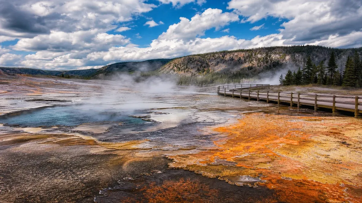
Unstable ground near fumaroles and mud pots may hide thin crusts over scalding water. Observing boardwalk boundaries and posted temperature warnings teaches how hydrothermal systems create hazards dissimilar to conventional swimming holes. None of this observation substitutes for on-site signage or ranger briefings.
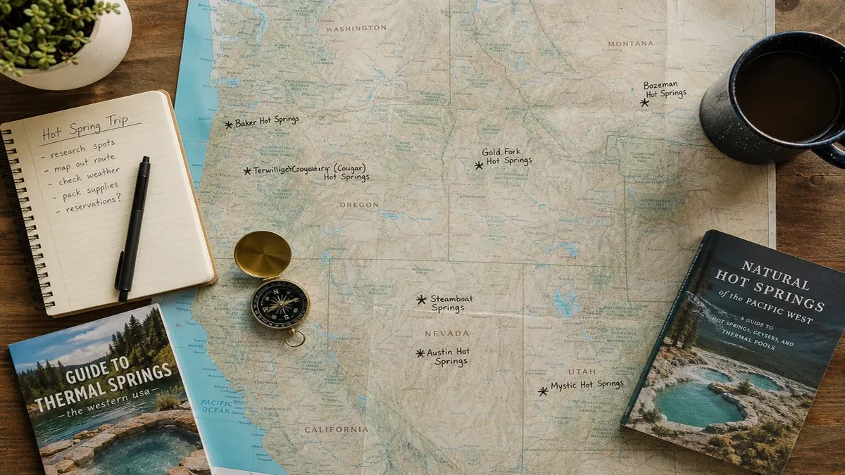
- Carry a paper map or offline navigation when cellular coverage fails in remote canyons.
- Note mile markers and trail junction names to correlate later with agency incident reports.
- Expect informal parking areas to fill on holiday weekends without overflow management.
- Respect closure tape and ranger instructions even when pools appear undamaged.
Planning Frameworks for Trip Planning
Educational itinerary design starts with clarifying learning goals rather than chasing social media highlights. Some travelers prioritize permit lottery systems, offline map backups, and alternate-route weather buffers; others focus on geology interpretation, photography ethics, or comparing developed spa amenities with primitive pool experiences. Listing priorities helps allocate time across multi-day loops without assuming unlimited site capacity or ideal temperatures.
Facility type affects access to changing rooms, lifeguard presence, and regulated temperature mixing at commercial sites. Researching amenities in neutral terms avoids disappointment when historic buildings differ from modern marketing renders. Mobility needs—including ramp access, pool entry rails, and service animal policies—should be confirmed through official facility contacts with documented responses.
Multi-site loops require buffer time when a single road washout or wildfire reroute can eliminate a planned soaking stop. Educational materials describe typical delay categories without predicting specific outcomes. Overnight stays in gateway towns break long drives into manageable segments and allow weather monitoring before committing to remote approaches.
- Photograph permit confirmations separately from payment card details.
- Pack sandals with grip for algae-slick rock and a towel that dries quickly between stops.
- Review public land food storage rules before camping in bear-active mountain corridors.
- Carry drinking water even when soaking near rivers, since thermal water is not potable.
Balancing Budget, Time, and Site Priorities
Day-use fees at developed facilities may still provide educational access to interpretive exhibits and regulated temperatures; the tradeoff is often crowding during peak seasons without guaranteed quiet soaking. Multi-night retreat packages offer structured programming but require early booking and clear understanding of cancellation policies.
Regional weekend loops can sample trip planning and multi-day thermal travel itineraries without cross-country drives. Comparing fuel, lodging, and permit costs against a single-resort stay highlights tradeoffs educational planners discuss without asserting one format is universally superior.
On-Site Experience and Interpretation Related to Trip Planning
National Park Service and state park interpreters occasionally offer guided walks near geothermal features, providing context about geology, indigenous history, and ecology. Program availability varies by season and staffing; absence of guided tours does not indicate site deficiency. Many travelers prepare self-guided study using USGS publications and university extension bulletins.
Shared soaking sites function as informal community spaces where long-term visitors sometimes share stewardship tips within appropriate boundaries. Listening respectfully differs from demanding personal recommendations during others' rest periods. Quiet expectations near backcountry pools support visitors seeking contemplative landscape time.
Photogenic steam and mineral colors attract photographers studying trip planning, yet tripod placement on fragile thermal ground and drone use may violate agency rules. Educational travelers accept that conservation priorities may limit access more than aesthetic preferences.
- Test water temperature gradually before full immersion when sources are unregulated.
- Keep soap, shampoo, and lotions out of natural pools unless facility rules explicitly allow.
- Ask rangers about recent bacteria advisories when agencies publish warm-season alerts.
- Follow photography policies that restrict drones or commercial shoots without permits.
Seasonal and Environmental Factors Affecting Trip Planning
Spring snowmelt can flood riverside pools or make access roads impassable for weeks. Late-summer wildfire smoke may reduce visibility across entire mountain ranges even when pools remain open. Winter visits may require traction devices and avalanche awareness on approaches above treeline.
Temperature perception varies by air temperature and wind along multi-state geothermal loops, gateway town resupply points, and remote four-wheel-drive approaches. A pool comfortable at dusk may feel cool at dawn; educational travelers accept natural variability rather than treating it as a site defect. Monsoon thunderstorms in southwestern canyons can produce flash floods hours after rain falls upstream.
Insect seasons affect riverside camping and dusk soaking comfort without changing water chemistry. Each environmental factor illustrates how outdoor thermal travel intersects with broader wilderness education topics.
Weather Delays and Traveler Decision Points
Land agencies issue road closures for mud, ice, and flood damage discovered during patrols. Visitors should monitor official alert pages and save ranger station numbers before entering dead zones. Educational travelers pre-identify alternate soaking options without assuming every backup site remains open simultaneously.
Travel insurance and medical decisions belong to individual risk discussions; this guide does not recommend specific products or promise health outcomes from mineral water exposure.
- Save agency alert feeds and county road department contacts offline.
- Monitor upstream weather when soaking in narrow desert canyons.
- Allow extra travel time during holiday weekends when parking overflows.
- Pack layered clothing for temperature swings between pool and vehicle.
Gateway Towns, Facilities, and Logistics for Trip Planning
Gateway communities near geothermal provinces combine grocery resupply, tire services, and local museums worth visiting before remote approaches. Allow time for fuel range calculations, especially on long forest roads without services. Smaller towns may have limited medical facilities; travelers with chronic conditions should plan accordingly without assuming emergency capacity.
Towns along multi-state geothermal loops, gateway town resupply points, and remote four-wheel-drive approaches offer visitor centers, hot spring history exhibits, and ranger offices complementing field visits. Scheduling stops transforms long drives into multi-topic educational trips without implying every town offers equal geothermal resources.
Shuttle services and tour operators occasionally substitute when personal vehicles lack required clearance. Reading operator licensing and insurance disclosures supports informed choices without endorsing specific vendors.
Ethics, Safety, and Community Context Around Trip Planning
Thermal sites often overlap with indigenous homelands and rural communities where residents experience tourism pressure differently than vacation travelers. Approaching places as living landscapes—not backdrops—aligns with respectful travel education emphasized throughout this site.
Shared pools require hygiene awareness, consent around photography, and compliance with clothing customs that vary by site. Leaving glass containers, litter, or camp debris at undeveloped pools degrades resources for future visitors and may trigger agency closures.
Emergency situations near remote water require self-rescue awareness and satellite communication when cell service fails. Participating in basic first-aid preparedness supports collective safety without dramatizing low-probability events.
- Report injuries, illegal campfires, or resource damage to agency law enforcement when safe.
- Keep pathways clear of gear piles during busy weekends at small pools.
- Avoid immersing open wounds unless medical providers approve specific facilities.
- Follow posted amoeba and temperature advisories without debate.
Integrating Trip Planning Into Broader Geothermal Learning
Document observations in a travel journal keyed to season, weather, and site type to compare future visits objectively. Cross-reference experiences with geological survey publications covering permit lottery systems, offline map backups, and alternate-route weather buffers for deeper context on why features exist in their current form.
University geology departments, public health agencies, and land-management planning documents provide open educational resources beyond tourism marketing. Engaging with these sources builds critical literacy about conservation designations, thermal energy development, and visitor carrying capacity.
Returning to the same trip planning and multi-day thermal travel itineraries in different seasons reveals hydrologic dynamics invisible in single trips. Educational travelers may prioritize repeat observation over checklist completion, accepting that geothermal travel teaches patience alongside earth science.
Questions to Ask Official Sources Before Departure
Ranger stations and facility front desks can clarify road status, permit quotas, and recent bacteria advisories when rules change seasonally. Written confirmations reduce misunderstandings when multiple staff interpret policy differently.
- Ask whether recent storms affected river crossings on access trails.
- Confirm facility accessibility features if mobility equipment is required.
- Request current maps if trail reroutes follow flood or fire recovery.
- Verify whether campfire bans affect planned overnight stays nearby.